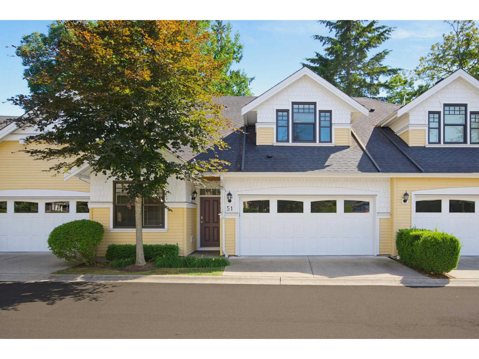
 For sale40
$1,599,000
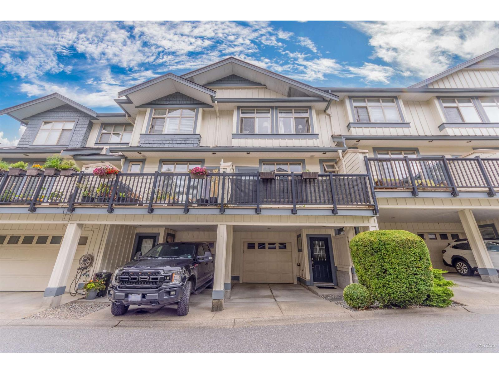
51 9235 MCBRIDE STREET
4 bed4 bath3,297 sq ft
Row / TownhouseMLS® R3139620
Explore homes and condos for sale in Fort Langley, one of Langley's neighbourhoods. Live MLS® listings, updated continuously, plus a direct line to a Renanza agent who knows the area.
Fort Langley currently has 52 active listings. Most homes for sale are priced between $806K and $4.26M, with a median around $1.72M. Detached houses make up the largest share of the market.
Figures reflect current active MLS® listings and update as the market moves.
Fort Langley is a historic riverside village in the north of the Township, widely called the birthplace of British Columbia. Its walkable Glover Road main street is lined with heritage buildings, boutiques, cafes, galleries and museums.
It sits in the north Township on the south bank of the Fraser River around Glover Road and 96 Avenue; the Bedford Channel separates the village from McMillan Island, home to the Kwantlen First Nation.
The Hudson's Bay Company established Fort Langley as a fur-trading post in 1827 and rebuilt it at its present site in 1839. Governor James Douglas proclaimed the Colony of British Columbia here on November 19, 1858, and the site was designated a national historic site in 1923.
The village is heritage-tourism and arts oriented, drawing visitors to its shops and museums, and is especially busy on weekends.
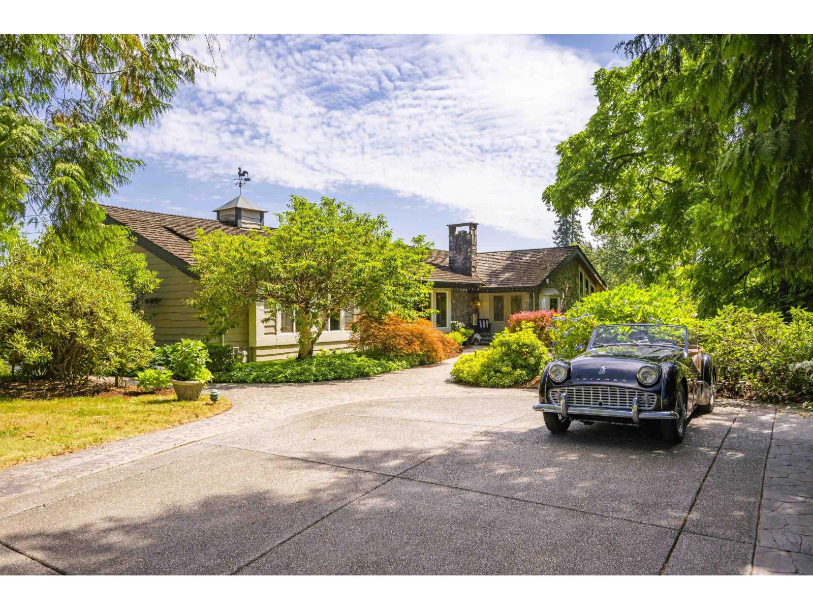
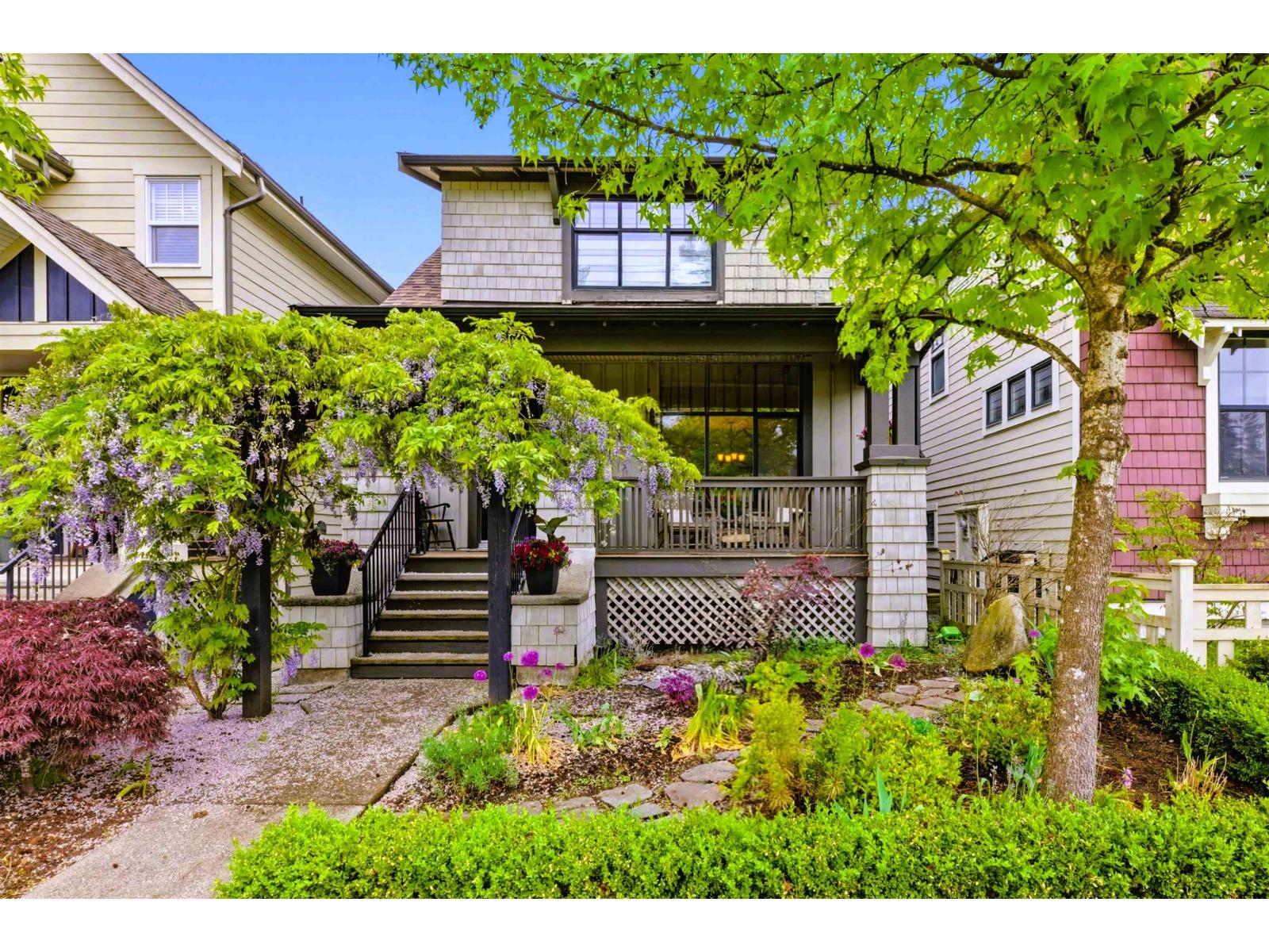
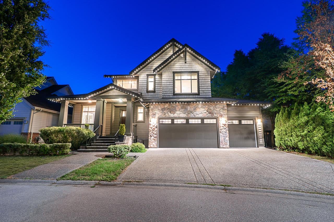
Housing ranges from heritage and character homes to newer riverside developments such as Bedford Landing.
Glover Road offers independent shops, restaurants, cafes and galleries.
The Fort-to-Fort Trail runs along the river, and Derby Reach Regional Park lies a short distance upstream.
The Langley School District (SD35) serves the area, including the Langley Fine Arts School, a K-12 school in the village.
TransLink buses serve Fort Langley, and Glover Road connects south toward the Highway 1 corridor and, via Walnut Grove, the Golden Ears Bridge.
Attractions include Fort Langley National Historic Site (Parks Canada), the BC Farm Museum and the Langley Centennial Museum.
It may suit buyers drawn to heritage character, riverfront living and a walkable village.
Sources: parks.canada.ca, en.wikipedia.org, bcfma.com, tourism-langley.ca
Statistics Canada, 2021 Census of Population for Langley, District municipality (DM) [Census subdivision], British Columbia. These figures describe the city as a whole, not this specific address — useful context, not a substitute for local knowledge. View source
132,603
Total population
+13.1%
Growth since 2016
40.8
Median age
$108,000
Median household income
2.8
Avg. household size
20.5%
Live alone
61.1%
Families w/ kids
81.9%
Owned
18.1%
Rented
$1,000,000
Median dwelling value
Highest credential, ages 25–64
How residents get to work
Mother tongue, top responses
Live homes for sale in Fort Langley, straight from the MLS® feed.
Browse →Live condos for sale in Fort Langley, straight from the MLS® feed.
Browse →Live townhomes for sale in Fort Langley, straight from the MLS® feed.
Browse →Live houses for sale in Fort Langley, straight from the MLS® feed.
Browse →Tell us what you're after in Fort Langley and we'll send matching listings the moment they hit the market.